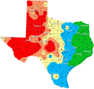
High fire danger, then cold
The National Weather Service reports a concern with regards to fire weather. The combination of drier air working into the area from the west and northwest, strong north winds and warm temperatures will result in elevated to near critical fire weather conditions. However the strongest winds will be earlier in the day, compared to when the RH will be at a minimum (mid/late afternoon) with winds diminishing at that time as the surface low will be pulling east away from the area. Leaning toward going with a Fire Danger Statement instead of upgrading the Fire Weather Watch for parts of the area for this reason.
It will remain rather breezy/windy through much of the night tonight. Temperatures by Tuesday morning will be dropping to near freezing in the northwest with 30s across much of the remainder of the area. However, no fog is anticipated as the drier air filtering south behind the front will finally give us a break.
SHORT TERM
(Tuesday through Wednesday night)
The NWS states: Much cooler day expected Tuesday as cooler air moves southward across the area. Winds will continue to gradually diminish as we go through the day as colder surface high settles south through the Plains. More seasonal temperatures can be expected for both Tuesday and Wednesday with highs in the 40s and lower 50s and overnight lows in the 20s and lower 30s.
LONG TERM
The NWS predicts: South winds return by Thursday as surface ridge shifts east over the southeast part of the conus and south wind bring slightly warmer air back into the area. This will be short-lived as another cold front quickly dives south through the Plains and across our area Thursday night. So back into the 40s/lower 50s as we head into the weekend.
By Saturday we see another large storm system come into the Pacific northwest and lee cyclogenesis quickly occur, bringing south winds back as well as some gulf moisture. This will bring rain chances back to parts of the area as early as Saturday night. The upper trough moves quickly through the central Rockies and into the Plains as we go into the second half of next weekend. At the same time, another cold front will bring colder air south, potentially sufficient for some wintry precip across the north on Sunday.
As this system moves by a stronger cold front looks to surge south through the Plains, bringing the coldest air of the season for early the following week.